Weekend Storm Brings Soaking Rain and Severe Threat Across Texas

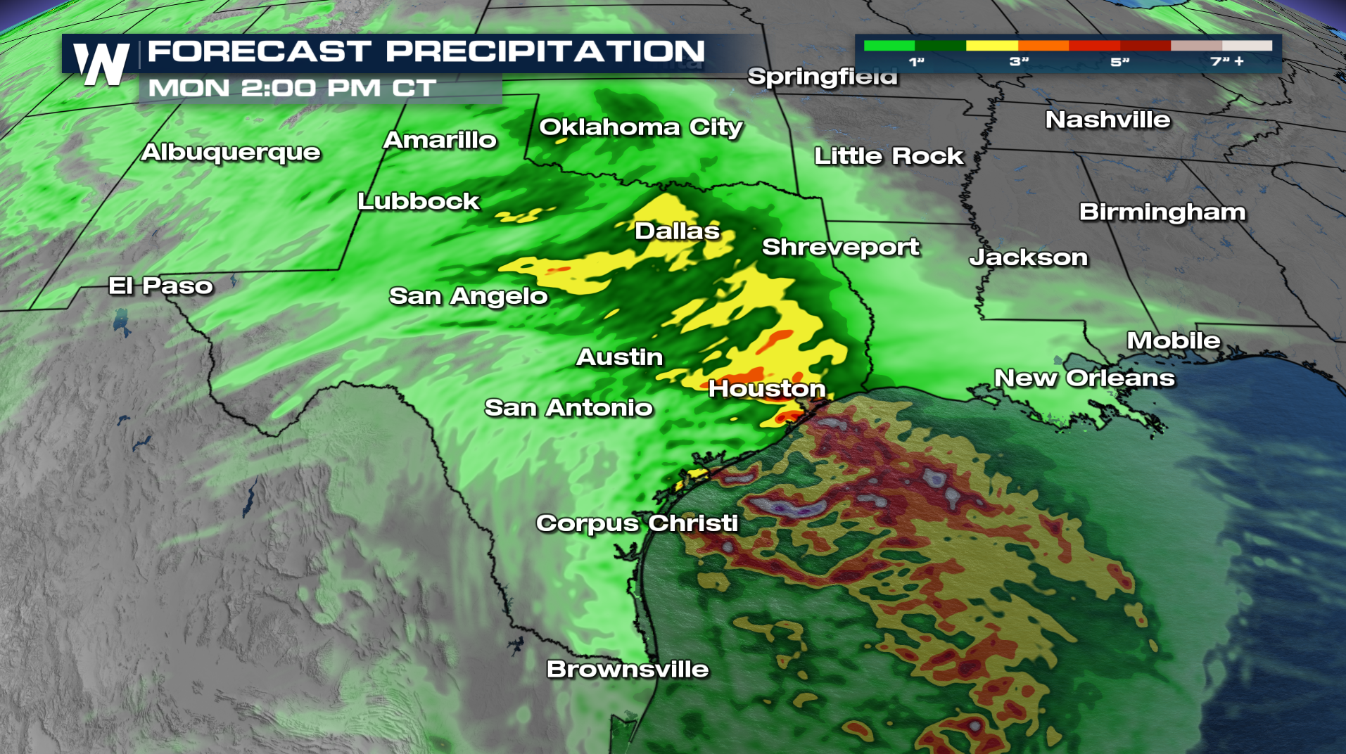
This weekend, a storm system moves into the southern Plains, bringing widespread showers, thunderstorms, and the possibility of localized flooding. Lots of moisture will be pulled in from the Gulf ahead of the storm system.
Rain is expected to develop across portions of North Texas late Saturday before becoming more widespread Sunday. The unsettled weather could linger into Monday, particularly closer to the Gulf Coast.
An isolated flood threat is possible across North Texas on Saturday, while the flood threat increases along the coast for Sunday. Through Monday, East Texas could pick up several inches of rain.
SEVERE THREAT
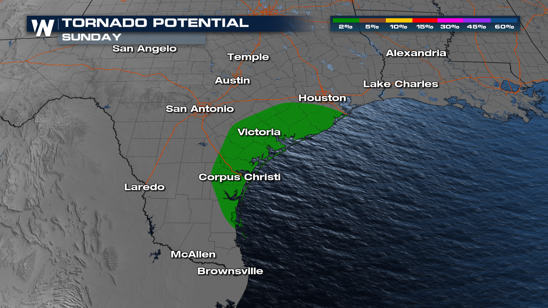
Sunday, a Marginal risk has been highlighted for parts of South Texas from the Rio Grande up to the Interstate 10 region. The primary threat will likely be damaging winds, but a few isolated tornadoes can't be ruled out. Rain and storms will begin in West Texas on Saturday and push eastward into the Red River Valley during the day. Sunday, the front sags down towards the coast, bringing the severe risk.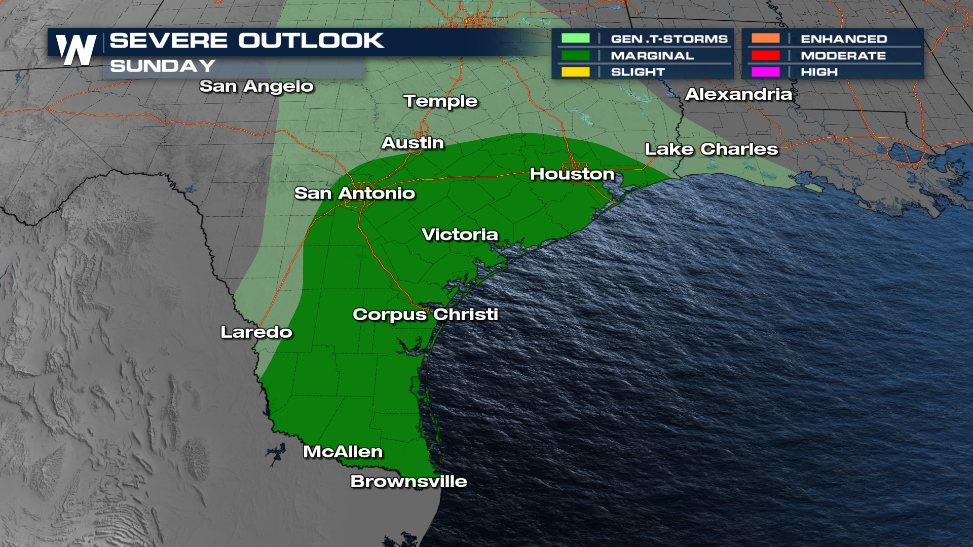
The rainfall will start early Saturday morning and last until Monday.


